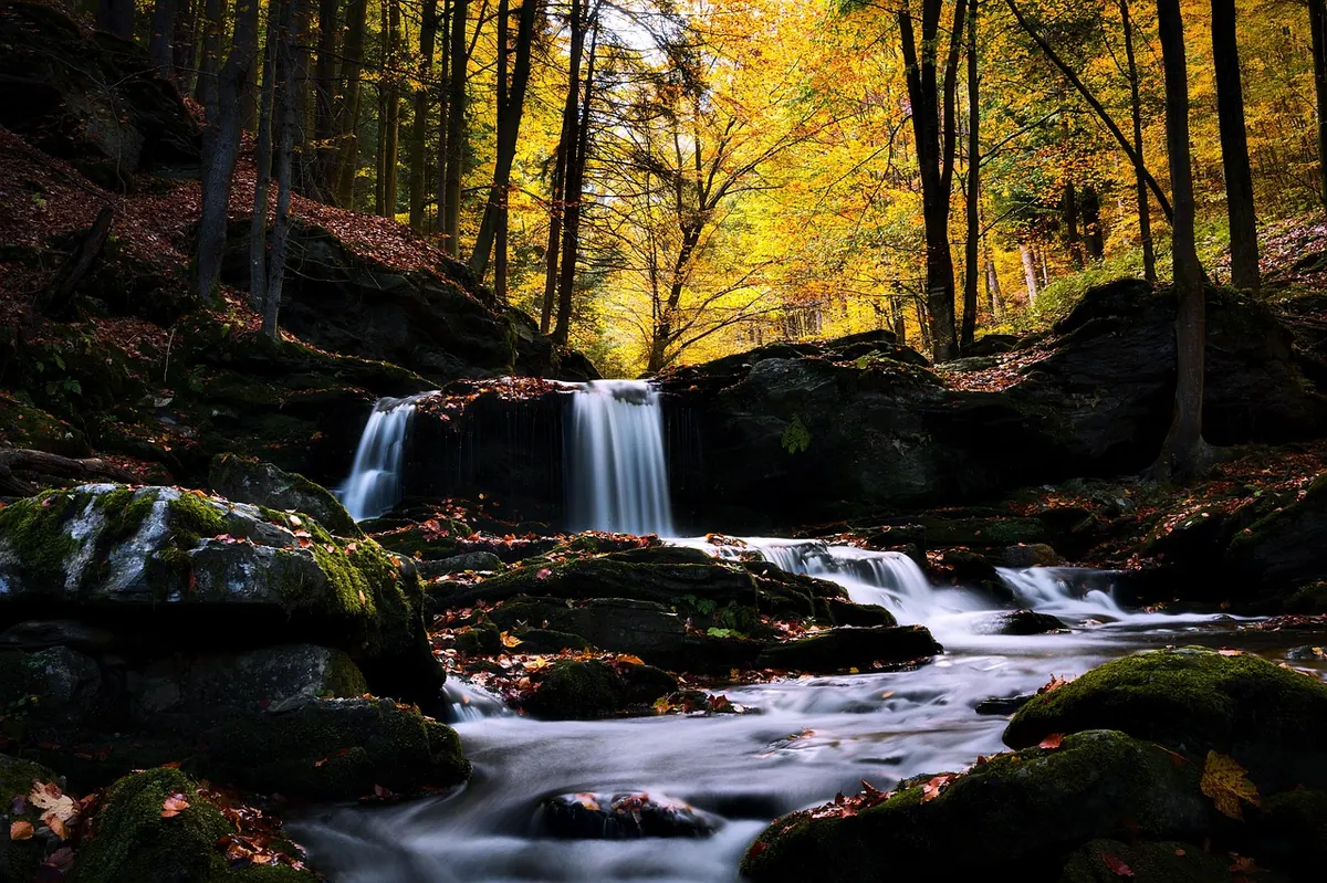
The best waterfalls in the Lake District are not always the ones with a car park, a tea room and a viewing platform. Some are little more than a white thread in a ravine, heard before they are seen, a few minutes off a public footpath. The catch is that a beck running through a private field or a ghyll on a shooting estate is not automatically open to you. The trick is to combine a good map with a clear understanding of access rights, then let the sound of water pull you just far enough off the main trail.
In England, public footpaths, bridleways, restricted byways and byways open to all traffic are recorded rights of way. A public footpath is for walking. A bridleway is for walking, cycling and horse riding. They usually appear on Ordnance Survey maps as green dashed lines. You can follow them across private land, but you must stay on the line of the path and use gates and stiles as intended.
Then there is open access land, often shown with an orange tint on OS Explorer maps. On this land you have a right to roam on foot, subject to local restrictions. The Lake District has large areas of it, especially on the fells. A waterfall on open access land may be fair game to visit, but the approach might cross a private field. If a sign says no access, or a gate is locked, that is the end of the detour.
A waterfall seen from the path is better than a confrontation with a landowner.
Permissive paths are another category. A landowner allows walkers, but the permission can be withdrawn or closed on certain days. Treat them as a privilege, not a right. This is general guidance, not legal advice; access can change, so check signs and the relevant authority before you go.
Use a 1:25,000 OS Explorer map. The blue stream lines show where water runs, and contour lines show where it drops. Look for the word “Falls”, “Force” or “Spout”, but remember that a label tells you a fall exists, not that you may reach the plunge pool. The useful detail is the path.
Find a public footpath that crosses a beck or runs close to a ghyll. A footbridge is a good sign: it means the path is meant to cross there. A path that follows the top of a ravine may give you a view down without leaving the right of way. Mark a viewpoint on the path, not a scramble down a bank.
These are not state secrets, but they are quieter than Aira Force and often reachable from a public footpath. Check current signs and path conditions on the day.
From Boot, a public footpath leads into a wooded ravine. The path is rough in places, with tree roots and wet rock. The fall drops in stages, and after rain it is loud enough to hear from the track. Stay on the main path where it crosses private land and take the viewing spots you are given.
The River Brathay tumbles over a wide shelf here. Public footpaths from Skelwith Bridge and Elterwater pass nearby, and the best view is from the path. Do not climb down to the water for a different angle; the banks are steep and the rocks are slick.
A short, steep path from the hause gives close views of a long cascade. It is roadside, so it is not secret, but many drivers pass it without stopping. Stay on the path; the surrounding slopes are loose and the weather can change fast.
From the Old Dungeon Ghyll area, a public footpath climbs beside the beck into the gorge. It is a short, sharp pull, and the path can be busy at weekends. The falls are viewed from the path, not from a private bank.
None of these require trespass. If a sign says no access, or a gate is locked, turn around. There are plenty of other becks.
Waterfalls are at their best after rain, but the paths that lead to them are at their worst. Expect mud, slippery rock and rising water. Avoid storms and prolonged heavy rain; a quiet ghyll can become a dangerous one quickly. Early morning and late afternoon are quieter, and low winter sun can make spray glow.
Park only in designated car parks or marked spaces. Do not block gates, passing places or private drives. If a car park is full, choose another valley rather than making one. Public transport can get you to some valley heads, but check times before you rely on it.
Wear boots with grip and carry waterproofs. Ravine paths are often wet, rooty and eroded. Keep away from the top of falls, where the rock is often undercut. Do not enter plunge pools: cold water, hidden rocks and strong currents are real hazards. If you plan to swim or scramble, treat it as a serious activity and get proper training and local conditions advice.
Keep dogs under control near sheep and cliffs. Close gates behind you. Take litter home, including fruit peel and wrappers. Do not build cairns or move stones. The quieter falls stay quiet because people treat them well.
Check the weather, tell someone where you are going, carry a paper map and compass, and be ready to turn back. A short detour to a lesser-known fall is one of the Lake District’s quiet pleasures, but only if you leave the land as you found it and stay within your rights. If you want local access advice, ask at a national park visitor centre or tourist information point. If you are unsure about a route, choose the public path. The water will still be there next time.
Photo: MrShaggy / Pixabay